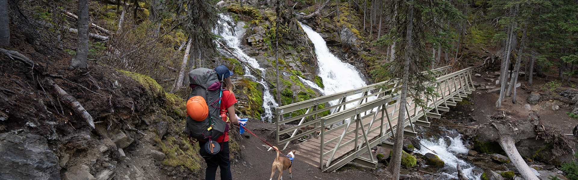
The trail circumnavigates Upper Kananaskis Lake and takes in Lower Kananaskis Falls. The south shore of this lakeside trail passes Sarrail Falls only 1.1 km from the Upper Lake Day Use area and then continues through stands of spruce and fir. On the north side, the trail crosses the Palliser rockslide on the way to Point Backcountry Campground.
Traditional bikes and E-bikes are permitted only on the 3.5 kilometer section of trail between North Interlakes Day Use area and Point Backcountry campground. The remaining section of the trail permits hiking only.
| Open | |
| Length | 15.7 km |
| Elevation: | 0 m |
| Group Size Limit: | 15 / 35 (Permit information) |
| Summer |


|
| Winter |
|
| Trailheads |
|
| Trail Map |
Spray Valley & Peter Lougheed Map (Geo Referenced)
Peter Lougheed PP - Kananaskis Lakes Ski Trails Map Peter Lougheed PP - Winter Trails |
| Trail Report: | Peter Lougheed |