


A Kananaskis Conservation Pass is required to park your vehicle in Kananaskis and the Bow Valley.
A Kananaskis Conservation Pass is required to park your vehicle in Kananaskis and the Bow Valley.
Effective Date: June 22, 2026 - Until Further Notice
Where: Kananaskis Country , Kananaskis Public Land Use Zone, Lusk Pass Parking Area, Jumpingpound Summit Parking Area, Prairie Creek Parking Area, Powderface Ridge North Parking Area, Powderface Ridge South Parking Area
Details: Parking areas along Powderface Road will be temporarily closed for construction. All trails outside the closure areas will remain open. The following designated trails will remain accessible by travelling around the fenced closure areas: Lusk Pass, Jumpingpound Ridge – Lusk Climb, Jumpingpound Summit, Prairie Creek, Powderface Creek, and Powderface Ridge. Expect increased industrial traffic on Powderface Road, and please obey all posted signage.
Follow the direction of all signage and personnel in the area and stay out of active construction zones.
Map of Affected AreaEffective Date: June 5, 2026 - Until Further Notice
Where: Kananaskis Country , Special K Trail, Kananaskis Public Land Use Zone
Details: The Special K Trail in Kananaskis Country Public Land Use Zone is temporarily closed due to collapsing bridges. For more information, call 310-LAND (5263) or the Moose Mountain Bike Trails Society.Map of Affected Area
Effective Date: July 31, 2026 - Until Further Notice
Where: Forks Backcountry Campground , Three Isle Lake Trail , Three Isle Lake Backcountry Campground , Turbine Canyon Backcountry Campground
Details: Forks Backcountry Campground, Three Isle Lake Backcountry Campground, and Turbine Canyon Backcountry Campground are OPEN. All three campgrounds are accessible using a temporary detour route that begins at the bridge over the Kananaskis River, approximately 500 metres west of Point Backcountry Campground. What Campers Need to KnowMap of Affected Area
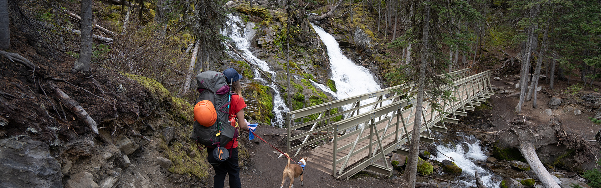
Trail starts at North Interlakes Day Use area and traverses the north side of Upper Kananaskis Lake, providing access to the northern portion of the Upper Lake Circuit after 0.9 km. At 2.2 km the Upper Lake Connector provides a second access to the Upper Lake Circuit. Bikes are permitted as far as Invincible Creek, located approximately 3.8 km from the trailhead. Beyond Invincible Creek, the trail continues through forested terrain to Forks Backcountry Campground, before climbing a steep headwall and accessing Three Isle Lake Backcountry Campground.
Three Isle Trail closed from the junction with Upper Lake Trail north of Point Backcountry Campground as the bridge is washed out on Upper Kananaskis River.
Note: Bikes only permitted to Invincible Creek, 3.8 km from trailhead
Three Isle Lake Backcountry Campground: Closed Dec 1 - July 1.
| Length | 10.2 km |
| Elevation: | 580 m (1900 ft) |
| Group Size Limit: | 15 (Permit information) |
| Difficulty |

|
| Summer | 


|
| Winter |
|
| Trailheads | |
| Trail Map | |
| Trail Report: | Peter Lougheed |