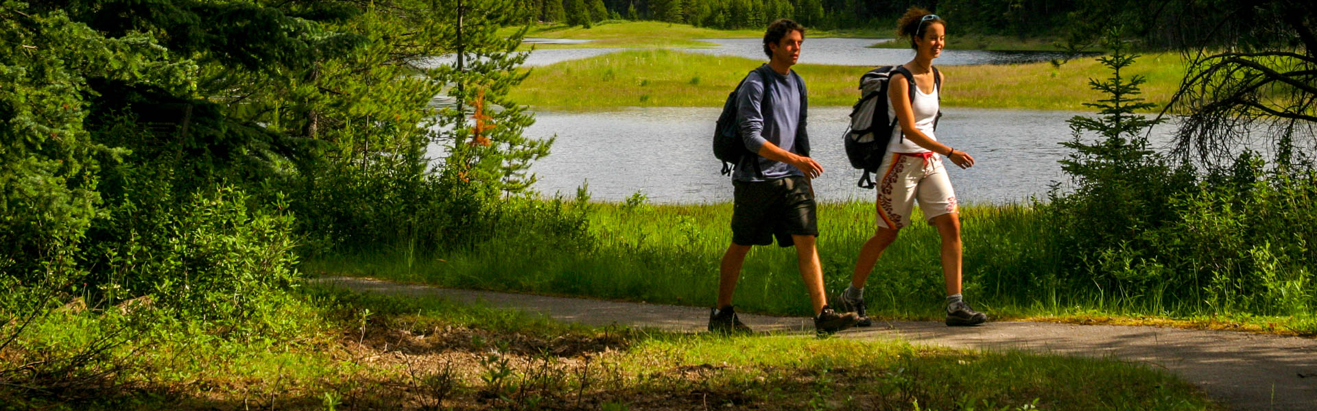
July 9th: Trails at lower elevations are snow free, with possible muddy sections. A few snow patches may exist at higher elevations, mainly over 2000m. All trees that came down during the winter have been removed from the trails, with the exception of Hidden Lake area towards Aster campground. Most trees from the snowfall on June 21st have now been removed in PLPP.
Closures:
Notes:
Warnings:
Boulton Creek Campground Amphitheatre: Construction
Burstall Pass Trail: Warning, June 8, 2025, A close encounter and multiple sightings of a grizzly bear near the trailhead.
Bear Warning: Campgrounds in Peter Lougheed Provincial Park
| Trail Name | Permitted Activities (Legend) | Length | Status | Keywords |
|---|---|---|---|---|
| 1982 Canadian Mount Everest Expedition Interpretive |
 Hiking
|
2.1 km | Open | |
| Bill Benson |
Hiking
|
0.7 km one-way | Open | |
|
Black Prince Cirque Interpretive
Note: The Blackshale Creek Suspension Bridge is NOT accessed from this trail. |
Hiking
|
4.2 km | Open | |
|
Boulton Creek Interpretive
June 27th: Downed trees removed. |
Hiking
|
4.9 km | Open | |
|
Burstall Pass
July 7th: Snow free. Downed trees removed. Note: Bikes permitted on first 3.5 km of trail ONLY.
|
 Biking/Cycling
Hiking
Biking/Cycling
Hiking
|
7.4 km one-way | Open | |
|
Chester Lake
July 3rd: Snow free. Downed trees removed. |
Biking/Cycling
Hiking
|
4.6 km one-way | Open | |
|
Elbow Lake
June 27th: Trail and campground snow free. Downed trees removed. Lots of water from recent rain and snow running across the trail between Elbow Lake and Tombstone. |
Biking/Cycling
Hiking
 Horseback Riding
|
1.4 km one-way | Open | |
|
Elk Pass
June 27th: Snow free. Some sections are muddy. |
Biking/Cycling
Hiking
|
5.6 km | Open | |
|
High Rockies
Note: Hiker-cyclist camping allowed at select day use areas only from Jun 1 - Sep 20. See details. |
Biking/Cycling
Hiking
|
63.0 km Goat Creek to Peninsula Day Use; 80.0 km Goat Creek to Elk Pass | Open | |
|
Highwood Meadows
July 11th: Pocaterra Ridge and Pocaterra Cirque trailheads are not accessible from Highwood Meadows Parking lot. Trail reclamation. |
Hiking
|
0.6 km one-way | Warning | |
|
Kananaskis Canyon Interpretive
Closed: Stream crossings washed away by penstock/dam construction. Trail is impassable and is closed indefinitely. |
Hiking
|
0.8 km | Closed | |
| Lookout |
Biking/Cycling
Hiking
|
1.7 km | Open | |
| Lower Lake |
Hiking
|
3.5 km one-way | Open | |
| Lower Lake Interpretive |
Hiking
|
0.5 km one-way | Open | |
| Marl Lake Interpretive |
Hiking
|
1.5 km for loop | Open | |
|
Maude-Lawson
Note: This trail has been redirected just west of Forks for access to Turbine Canyon. |
Hiking
|
7.5 km | Open | |
| Peninsula |
Hiking
|
0.4 km | Open | |
| Peter Lougheed Paved |
Biking/Cycling
Hiking
|
12.1 km one-way | Open | |
|
Pocaterra
Note: This is not the undesignated Pocaterra Ridge or Cirque route. |
Biking/Cycling
Hiking
|
9.9 km one-way | Open | |
| Ptarmigan Cirque Interpretive |
Hiking
|
4.5 km | Open | |
|
Rawson Lake
July 2nd: Trail is dry on the lower half with muddy patches at higher elevations. |
Hiking
|
3.9 km one-way | Open | |
| Rock Glacier Interpretive |
Hiking
|
0.15 km one-way | Open | |
| Rockwall |
Hiking
|
0.5 km | Open | |
| Spruce Road |
Hiking
|
0.8 km | Open | |
|
Three Isle Lake
June 27th: Mostly snow free. One large patch of snow is present at the top of the headwall. Downed trees have been removed. Note: Bikes only permitted to Invincible Creek, 3.8 km from trailhead |
Biking/Cycling
Hiking
|
10.2 km | Open | |
| Upper Lake |
Biking/Cycling
Hiking
|
15.7 km | Open | |
| Whiskey Jack |
Biking/Cycling
Hiking
|
3.9 km one-way | Open | |
| William Watson Lodge Access |
Biking/Cycling
Hiking
|
0.6 km one-way | Open |