
Information

Our website recently underwent a system upgrade. You may experience occasional errors while we address a few known issues. Thank you for your patience.

Alberta Parks
Information

Kananaskis Conservation Pass is required to park your vehicle in Kananaskis and the Bow Valley

Information

New for 2026: Interlakes Campground now has a mix of reservable and first-come, first-served campsites. Reserve on Shop.AlbertaParks.ca or phone the Call Centre at 1-877-537-2757. 

Effective Date: September 1, 2026 - Until Further Notice

Where: Frost Heave Snowshoe Trail , Graupel Snowshoe Trail , High Rockies Trail , Peter Lougheed Provincial Park , Sawmill Loop Snowshoe Trail , Snowdrift Snowshoe Trail , Mount Murray Viewpoint, Sinter Trail, White Out Trail, Wind Chill Trail, High Rockies Trail (partial)

Details: Closed due to flood damage from the June rain event.

Map of Affected Area

Effective Date: August 21, 2026 - Until Further Notice

Where: Peter Lougheed Provincial Park , Woolley Trail , Sparrow's Egg Lake

Details: Wildlife feeding on a dead moose in the area.  Woolley Trail is closed from the junction of Wheeler/Meadow Trails to Amos Trail. 

If you come across wildlife, remember to:

  • Give them plenty of space – at least 30 metres/100 feet (3 bus lengths).
  • Be aware of your surroundings.
  • Keep your pet on a leash.
  • Do not feed wildlife.
  • Learn more about Wildlife Safety

Report sightings and incidents to 310-LAND (5263).

Effective Date: July 6, 2026 - Until Further Notice

Where: Peter Lougheed Provincial Park , Pocaterra Cirque, Pocaterra Ridge & Surrounding area

Details: Please be advised that Alberta Forestry and Parks will be completing trail construction work and reclamation in and around Pocaterra Cirque Trail within Peter Lougheed Provincial Park between July 6 and Fall 2026, or until further notice. Construction crews will be on site beginning July 6, 2026. To safely complete this work, the areas outlined in red on the attached map will be temporarily closed for the duration of construction. The temporary closure is necessary to:
  • Protect public safety while construction crews and heavy equipment are active on the trail.
  • Allow trail construction and reclamation work to proceed safely and efficiently, minimizing the overall duration of the closure.
  • Protect newly reclaimed alpine vegetation and restoration areas while they are being established.
Please note:
  • Highwood Meadows Day Use Area will remain open throughout construction.
  • Alternative hiking opportunities during the closure include Ptarmigan Cirque, Rawson Lake, Chester Lake, Heart Creek, Picklejar Lakes, and Burstall Pass, subject to current road conditions, trail closures and advisories. Visitors are encouraged to check current conditions before travelling to the area.
Conservation Officers will enforce the area closure under the Provincial Parks Act. Do not cross construction barriers and follow all signage. Visitors looking for alternatives can call the Kananaskis Information Line at 1-403-678-0760 or stop by a Kananaskis Information Centre.

Follow the direction of all signage and personnel in the area and stay out of active construction zones.

Map of Affected Area
FAQs

Updated: August 8, 2026 

Effective Date: July 31, 2026 - Until Further Notice

Where: Peter Lougheed Provincial Park , Three Isle Lake Trail

Details: Forks Backcountry Campground, Three Isle Lake Backcountry Campground, and Turbine Canyon Backcountry Campground are OPEN. All three campgrounds are accessible using a temporary detour route that begins at the bridge over the Kananaskis River, approximately 500 metres west of Point Backcountry Campground. What Campers Need to Know
  • Three Isle Trail is closed from the junction with Upper Lake Trail to the Upper Kananaskis River due to a washed-out bridge.
  • Obey all closure signs and follow all posted signage and stay on the designated temporary detour.
  • Wildlife is commonly present along the temporary detour route. Hikers should stay alert, make noise, travel in groups, and carry bear spray.
  • Allow extra travel time, as the detour may increase hiking distance and travel duration.
  • Be prepared for rough trail conditions and ongoing repair activities in the area.
  • Check Alberta Parks trail reports and advisories before departing, as conditions may change. Visit albertaparks.ca for the latest updates.

Map of Affected Area

Effective Date: July 27, 2026 - Until Further Notice

Where: Black Prince Cirque Interpretive Trail , Peter Lougheed Provincial Park

Details: The bridge just beyond the parking lot that provides access to this trail has been washed out.

Effective Date: June 5, 2026

Where: Boulton Creek Campground , Peter Lougheed Provincial Park

Details: The Boulton Creek Campground dump station is now open as a dry dump only (no water). Potable water is still available at Canyon Dump Station.

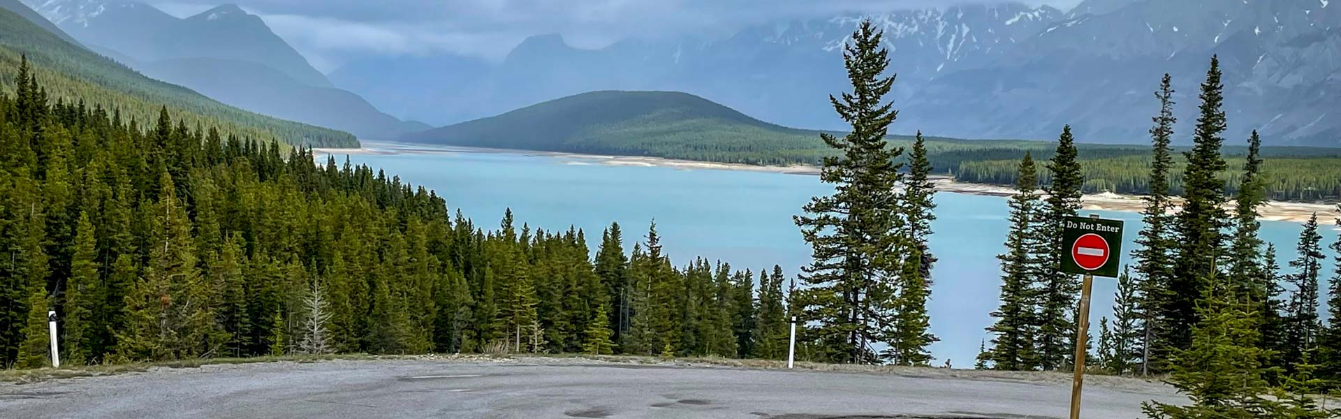
Interlakes Campground is in Peter Lougheed Provincial Park, 50 km south of Hwy. 1 on Hwy. 40 and south on Kananaskis Lakes Trail. This picturesque campground along the shore of Lower Kananaskis Lake has 48 well-treed campsites for RVs and tents. From here, there is close access to the lakes for those hoping to canoe, fish or go boating. There are also many hiking, mountain biking, and paved trails nearby. 

Camping

Season: May 14 - Oct 12
Site Type Campsites Power $/Night Reservable Dates Current Status
Unserviced 46 - $31 May 14 - Oct 11 Book It
  • Reservations can be made 90 days in advance of arrival date.
  • Visa & MasterCard accepted; pull-through sites available; on-site manager & caretaker.

Amenities

Currently Booking to
Oct 11, 2026

1-877-537-2757
Firewood

Firewood available for purchase from the campground manager or at Boulton Creek Campground store.

Water

Please bring your own water. Water from the hand pump is not safe for consumption or use and should only be used to put out fires.

Sewage

This campground offers a mix of first-come, first-served and reservable campsites.

Maps & Guides

  • Spray Valley & Peter Lougheed Map (Geo Referenced) Map, Kananaskis Country, Spary valley PP, Peter Lougheed PP, map Campground: Eau Claire, Lillian Lake Backcountry, Ribbon Falls Backcountry, Ribbon Lake Backcountry, Spray Lakes West, Rummel Lake Winter Backcountry,Boulton Creek, Canyon, Elkwood, Interlakes, Lower Lake, William Watson Lodge, Mount Sarrail Walk-in Tenting, Aster Lake Backcountry, Elbow Lake Backcountry, Forks Backcountry, Point Backcountry, Three Isle Lake Backcountry, Turbine Canyon Backcountry Group Use: Lower Lake, Pocaterra Walk-in Tenting Day Use: Buller Mountain, Driftwood, Galatea, Goat Creek, Mt. Shark, Opal, Sparrowhawk, Spray Lake, Wedge Pond, Black Prince, Boulton Bridge, Burstall Pass, Canyon, Chester Lake, Elbow Pass, Elk Pass, Elpoca, Grizzly Creek, Highwood Meadows, King Creek, Little Highwood Pass, Lower Lake, North Interlakes, Panorama, Peninsula, Pocaterra, Rock Glacier, Sawmill, Upper Lake, White Spruce, Elkwood Trailhead Trails: Banff, Galatea Creek, Mount Shark, Terrace South, Wedge Connector, Frozen Toad Loop Snowshoe, Rolly Road Training Grid, South Sawmill Loop, Tailwater Snowshoe, Torpor Loop, William Watson Lodge Connector -- 7cdaac4f-8452-47da-8214-d83eeb277794 True


Updated: Aug 7, 2026
0%