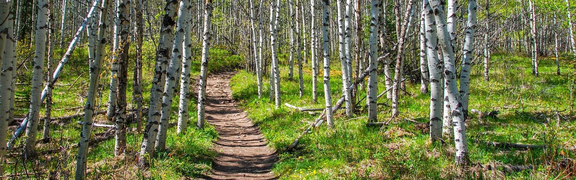
Oct 6th: After the recent snowfall expect snow and ice at higher elevation. With the warm temperatures during the day, the snow is slowly disappearing. Ice will turn into mud during the day and freezes again at night.
Always come prepared for a variety of conditions, that can change suddenly throughout the day. Note that days are getting shorter, plan your day accordingly.
Be aware of closures and check advisories before you go.
Notes:
Warnings:
| Trail Name | Permitted Activities (Legend) | Length | Status | Keywords |
|---|---|---|---|---|
| Bow Corridor Trail |
 Biking/Cycling
 E-bikes
 Hiking
|
7.4 km one-way | Open | |
| Bow River Interpretive |
Hiking
|
2.1 km one-way | Open | |
| Bow Valley Paved |
Biking/Cycling
E-bikes
Hiking
|
4.2 km one-way | Open | |
|
Centennial Ridge
A grizzly bear bluff-charged a hiker near the Ribbon Creek parking lot. Additionally, a grizzly bear has been sighted multiple times along the Ribbon Creek Trail. |
Hiking
|
From Ribbon Creek: 6.8 km to Mt Allan summit and 17.5 km to Wind Valley | Warning | |
| Elk Flats |
Hiking
|
1.9 km one-way | Open | |
| Flowing Water Interpretive |
Hiking
|
2.0 km return | Open | |
| Grotto Creek Canyon |
Hiking
|
2.1 km one-way | Open | |
| Heart Creek Interpretive |
Hiking
|
1.3 km one-way | Open | |
| Jewell Pass |
Biking/Cycling
E-bikes
Hiking
|
2.9 km one-way | Open | |
|
Many Springs Interpretive
Crews will be working to improve the trail. Expect equipment on the trail. Due to beaver activity the water level in the lake is high. The boardwalk and dock located on the trail are prone to sink into the water slightly. Good, water proof footwear should be worn. |
Hiking
|
1.3 km | Warning | |
| Middle Lake Interpretive |
Hiking
|
2.0 km | Open | |
| Montane Interpretive |
Hiking
|
1.5 km | Open | |
| Moraine Interpretive |
Hiking
|
1.1 km one-way | Open | |
| Prairie View |
Biking/Cycling
E-bikes
Hiking
|
6.6 km one-way to viewpoint | Open | |
|
Quaite Creek
Construction work is ongoing in the Heart Creek drainage area to complete flood mitigation work. Expect workers and equipment in the area. |
Biking/Cycling
E-bikes
Hiking
 Horseback Riding
|
5.7 km one-way to Jewell Pass | Warning | |
|
Razors Edge
Note: If hiking this trail, be aware that bikers may be traveling at speed on downhill sections. |
Biking/Cycling
E-bikes
Hiking
|
6.6 km one-way to viewpoint | Open | |
| Skogan Pass |
Biking/Cycling
E-bikes
Hiking
Horseback Riding
|
From Ribbon: 10.2 km to Skogan Pass, 19.4 km to Wind Valley | Open | |
| Stoney |
Biking/Cycling
E-bikes
Hiking
Horseback Riding
|
22.5 km one-way | Open | |
| Windy Viewpoint |
Hiking
|
5.4 km | Open | |
| Yamnuska Climbers' Access Route |
Hiking
|
2.1km one-way | Open | |
|
Yamnuska East Ridge
Warning: Rockfall hazard exists on this trail, especially in freeze / thaw weather conditions. Be cautious and move quickly through areas with overhead hazard, particularly in the waterfall section of the West Col portion of trail. |
Hiking
|
3.6 km one-way | Open | |
|
Yamnuska Scramble Route
Warning: Rockfall hazard exists on this trail, especially in freeze / thaw weather conditions. Be cautious and move quickly through areas with overhead hazard, particularly in the waterfall section of the West Col portion of trail. |
Hiking
|
10.2km return | Open | |
|
Yamnuska West Col
Warning: Rockfall hazard exists on this trail, especially in freeze / thaw weather conditions. Be cautious and move quickly through areas with overhead hazard, particularly in the waterfall section of the West Col portion of trail. |
Hiking
|
4.0 km | Open |