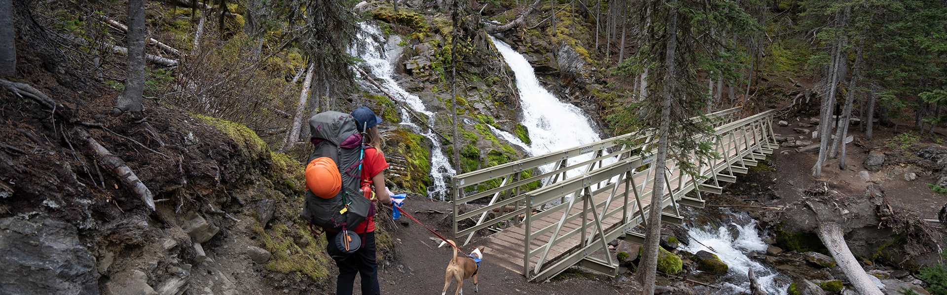
Oct 6th: After the recent snowfall snow and ice are slowly melting. Higher elevation trails will hold significant snow in shaded areas. Expect icy conditions in the morning becoming muddy with the warmer temperatures.
Always come prepared for a variety of conditions, that can change suddenly throughout the day. You may want to consider bringing hiking poles, micro spikes, toques, gloves and multiple layers. Note that days are getting shorter, plan your day accordingly.
Closures:
Notes:
Warnings:
| Trail Name | Permitted Activities (Legend) | Length | Status | Keywords |
|---|---|---|---|---|
| 1982 Canadian Mount Everest Expedition Interpretive |
 Hiking
|
2.1 km | Open | |
| Bill Benson |
Hiking
|
0.7 km one-way | Open | |
|
Black Prince Cirque Interpretive
Note: The Blackshale Creek Suspension Bridge is NOT accessed from this trail. |
Hiking
|
4.2 km | Open | |
| Boulton Creek Interpretive |
Hiking
|
4.9 km | Open | |
|
Burstall Pass
Note: Bikes permitted on first 3.5 km of trail ONLY. |
 Biking/Cycling
 E-bikes
Hiking
E-bikes
Hiking
|
7.4 km one-way | Open | |
| Chester Lake |
Biking/Cycling
E-bikes
Hiking
|
4.6 km one-way | Open | |
| Elbow Lake |
Biking/Cycling
E-bikes
Hiking
 Horseback Riding
|
1.4 km one-way | Open | |
| Elk Pass |
Biking/Cycling
E-bikes
Hiking
|
5.6 km | Open | |
|
High Rockies
Note: Hiker-cyclist camping allowed at select day use areas only from Jun 1 - Sep 20. See details. |
Biking/Cycling
E-bikes
Hiking
|
63.0 km Goat Creek to Peninsula Day Use; 80.0 km Goat Creek to Elk Pass | Open | |
|
Highwood Meadows
Bear Warning: Grizzly Bear bluff charge with bear spray deployed. |
Hiking
|
0.6 km one-way | Warning | |
|
Kananaskis Canyon Interpretive
Closed: Stream crossings washed away by penstock/dam construction. Trail is impassable and is closed indefinitely. |
Hiking
|
0.8 km | Closed | |
| Lookout |
Biking/Cycling
E-bikes
Hiking
|
1.7 km | Open | |
| Lower Lake |
Hiking
|
3.5 km one-way | Open | |
| Lower Lake Interpretive |
Hiking
|
0.5 km one-way | Open | |
| Marl Lake Interpretive |
Hiking
|
1.5 km for loop | Open | |
|
Maude-Lawson
Note: This trail has been redirected just west of Forks for access to Turbine Canyon. |
Hiking
|
7.5 km | Open | |
| Peninsula |
Hiking
|
0.4 km | Open | |
|
Peter Lougheed Paved
Construction: Pathway closed between Elkwood Campground and the Elkwood Amphitheatre. |
Biking/Cycling
E-bikes
Hiking
|
12.1 km one-way | Partially Closed | |
|
Pocaterra
Note: This is not the undesignated Pocaterra Ridge or Cirque route. |
Biking/Cycling
E-bikes
Hiking
|
9.9 km one-way | Open | |
| Ptarmigan Cirque Interpretive |
Hiking
|
4.5 km | Open | |
| Rawson Lake |
Hiking
|
3.9 km one-way | Open | |
| Rock Glacier Interpretive |
Hiking
|
0.15 km one-way | Open | |
|
Rockwall
Closure: Multiple bears feeding in the area. |
Hiking
|
0.5 km | Closed | |
| Spruce Road |
Hiking
|
0.8 km | Open | |
|
Three Isle Lake
Note: Bikes only permitted to Invincible Creek, 3.8 km from trailhead |
Biking/Cycling
E-bikes
Hiking
|
10.2 km | Open | |
| Upper Lake |
Biking/Cycling
E-bikes
Hiking
|
15.7 km | Open | |
| Whiskey Jack |
Biking/Cycling
E-bikes
Hiking
|
3.9 km one-way | Open | |
| William Watson Lodge Access |
Biking/Cycling
E-bikes
Hiking
|
0.6 km one-way | Open |