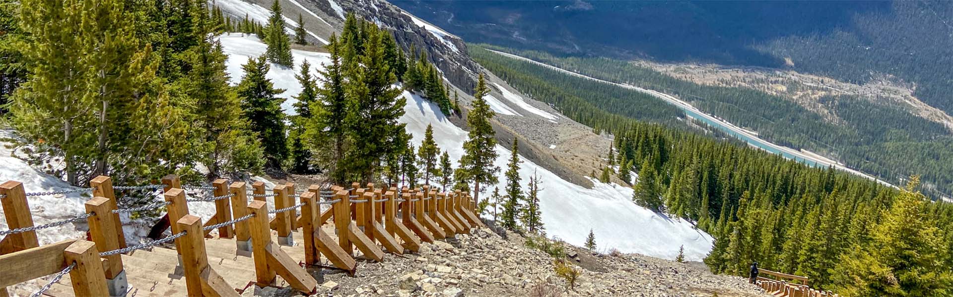
This trail provides access to Ha Ling Peak, an impressive landmark that overlooks the town of Canmore. The trail is maintained for the 3.5 km to the saddle, with the final 400 m of distance and 103 m of elevation to the peak on an unmaintained trail, which traverses through loose, rocky terrain.
This open-source map is provided for illustrative purposes only and may not accurately define the trail/route.
| Open | |
| Length | 3.5 km to the saddle; 3.9 km to the summit |
| Elevation: | 810 m |
| Summer |

|
| Winter |
|
| Trailheads |
|
| Trail Map | |
| Trail Report: | Canmore and Area |