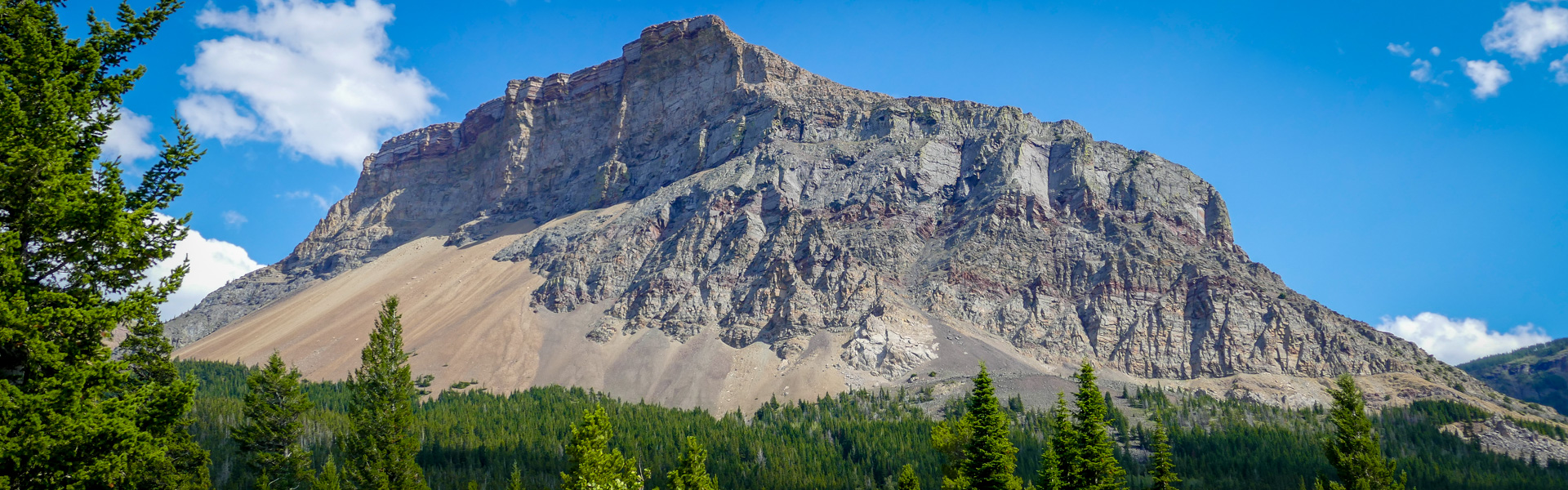
Not for the faint of heart, this 47km trek of the North section of the Great Divide Trail stretches from Blairmore to Highway 774. Expect rocky sections and steeper climbs in the montane and subalpine terrain. You’ll be rewarded with spectacular views of the Sartoris summit to the south end of the Sartoris.
The trail enters forested area affected by the 2003 Lost Creek wildfire and ascends Willoughby Ridge, with a section to traverse the ridge. The area south of the Carbondale River is a flat quad trail that climbs to a steep section at Suicide Creek, eventually dropping down to Lynx Creek Road.
After a road section, the trail continues through low elevation, forested terrain to Highway 774.
For more information on the Great Divide Trail, visit: https://greatdividetrail.com/
| Length | 47.2 km one way |
| Elevation: | 1434 m gain, 1370 m loss |
| Difficulty |
|
| Summer |


|
| Winter |
|
| Trailheads |
|
| Trail Map |
Castle Summer Trail Map Georeferenced
Castle Winter Trails Map Georeferenced Designated Camping Areas Equestrian Designated Campground and Summer Trails |