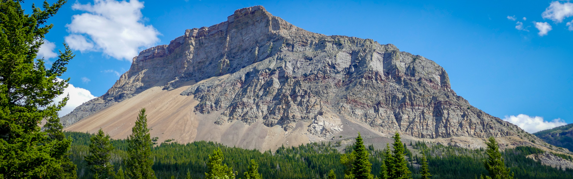
Gardener Creek Trail runs through the valley bottom in montane to subalpine terrain paralleling Gardener Creek. The trail continues up between Syncline Mountain and St. Eloi Mountain. This intimate trail weaves in and out of the creek but is largely forested the entire way. Expect a steeper slope on the North end.
| Length | 12.3 km |
| Elevation: | 668m |
| Difficulty |
|
| Summer |


|
| Winter |
|
| Trailheads |
|
| Trail Map |
Castle Summer Trail Map Georeferenced
Castle Winter Trails Map Georeferenced |