
A bear warning is in effect for every day use area and campground along the Kananaskis Lakes road. More info.
Effective Date: July 15, 2026 - Until Further Notice
Where: 1982 Canadian Mount Everest Expedition Interpretive Trail , Peter Lougheed Provincial Park , Upper Lake Trail , White Spruce Day Use
Details:Upper Kananaskis Lake Circuit trail from North Interlakes Trailhead to White Spruce Day Use Area is closed until further notice due to multiple grizzly bears with cubs frequenting the area. This closure includes Everest Expedition Trail, and all portions of the lake shoreline (see map).
Access to the Point or Aster Lake Backcountry Campgrounds are not affected.
Although an advisory is in place for this area, bears can be encountered at any time. To avoid a surprise encounter with a bear:
Report sightings and incidents to 403-591-7755.
Map of Affected Area
Effective Date: July 6, 2026 - Until Further Notice
Where: Peter Lougheed Provincial Park , Pocaterra Cirque, Pocaterra Ridge & Surrounding area
Details:Please be advised that Alberta Forestry and Parks will be completing trail construction work and reclamation in and around Pocaterra Cirque Trail within Peter Lougheed Provincial Park between July 6 and Fall 2026, or until further notice. Construction crews will be on site beginning July 6, 2026.
To safely complete this work, the areas outlined in red on the attached map will be temporarily closed for the duration of construction.
The temporary closure is necessary to:
Please note:
Conservation Officers will enforce the area closure under the Provincial Parks Act. Do not cross construction barriers and follow all signage.
Visitors looking for alternatives can call the Kananaskis Information Line at 1-403-678-0760 or stop by a Kananaskis Information Centre.
Follow the direction of all signage and personnel in the area and stay out of active construction zones.
Map of Affected Area
Effective Date: July 31, 2026 - Until Further Notice
Where: Peter Lougheed Provincial Park , Three Isle Lake Trail
Details:Forks Backcountry Campground, Three Isle Lake Backcountry Campground, and Turbine Canyon Backcountry Campground are OPEN.
All three campgrounds are accessible using a temporary detour route that begins at the bridge over the Kananaskis River, approximately 500 metres west of Point Backcountry Campground.
What Campers Need to Know
Map of Affected Area
Effective Date: July 16, 2026 - Until Further Notice
Where: Bill Benson Trail , Boulton Bridge Day Use , Boulton Creek Campground , Canyon Day Use , Canyon Campground , Elk Pass Day Use , Elkwood Campground , Elkwood Trailhead Day Use , Interlakes Campground , Lower Lake Day Use , Lower Lake Trail , Lower Lake Campground , Lower Lake Group Use , Mount Sarrail Walk-in Tenting Campground , North Interlakes Day Use , Panorama Day Use , Peninsula Day Use , Peter Lougheed Park Discovery & Information Centre , Peter Lougheed Provincial Park , Pocaterra Day Use , Point Backcountry Campground , Upper Lake Day Use , Upper Lake Trail , White Spruce Day Use , William Watson Lodge Campground , William Watson Lodge , William Watson Lodge Access Trail , William Watson Lodge Connector Trail , Upper Kananaskis lake, Lower Kananaskis Lake
Details:A Bear Warning is in place for all facilities and trails along the Kananaskis Lakes Trail (KLT) Road between Highway 40 and Upper Kananaskis Lake, and along the Spray Road between the KLT and Lower Kananaskis Lake.
If you have a surprise encounter with a bear showing signs of stress:
Although an advisory is in place for this area, bears can be encountered at any time. To avoid a surprise encounter with a bear:
Report sightings and incidents to 403-591-7755.
Effective Date: July 27, 2026 - Until Further Notice
Where: Black Prince Cirque Interpretive Trail , Peter Lougheed Provincial Park
Details:The bridge just beyond the parking lot that provides access to this trail has been washed out.
Effective Date: June 8, 2026 - Until Further Notice
Where: Peter Lougheed Provincial Park , Spray Lakes West Campground , Spray Valley Provincial Park
Details:Spray Lakes West Campground is open, however it is only accessible via Hwy 40 South and the unpaved portion of Hwy 742 N via Peter Lougheed Provincial Park.
Map of Affected Area
Effective Date: June 5, 2026
Where: Boulton Creek Campground , Peter Lougheed Provincial Park
Details:The Boulton Creek Campground dump station is now open as a dry dump only (no water). Potable water is still available at Canyon Dump Station.
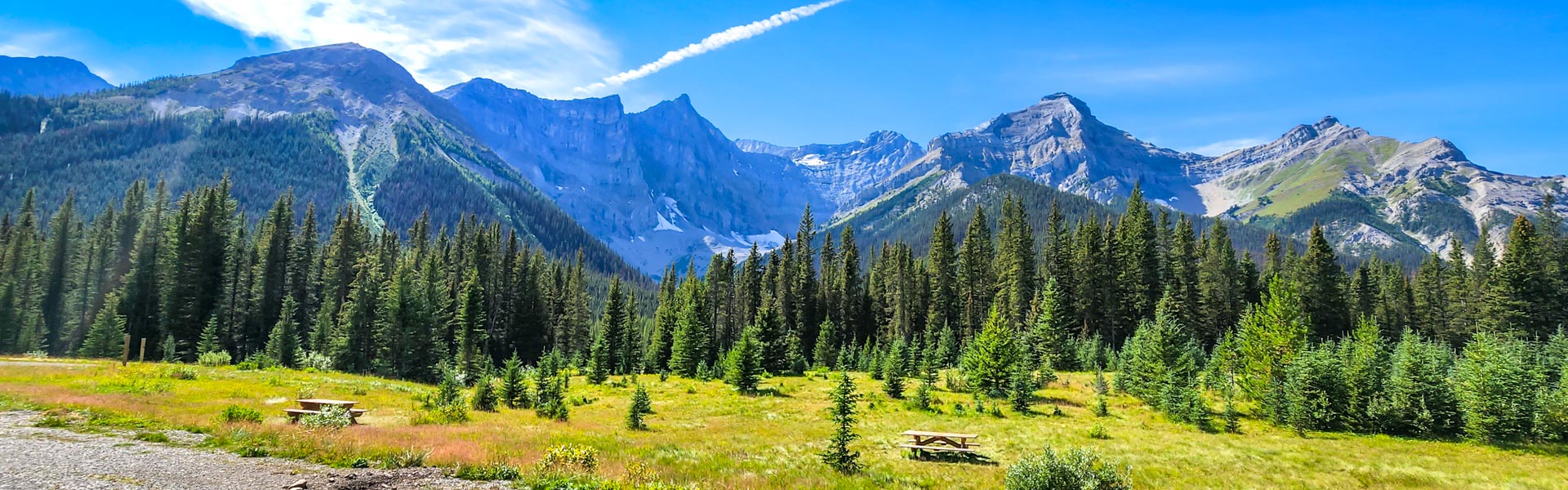
Sawmill Day Use Area is a beautiful spot along the High Rockies Trail. Take in the views of Mt. Murray and Kent Ridge. Some benches with lovely views make this a popular spot to take a break from driving. There is a Hiker-Cyclist Campground here.
Secure Food Storage
Cross Country Skiing
Snowshoeing
Hiking - Front Country
Mtn. Biking/Cycling
Electric Bicycles