Caution

Weather Alert: Snowfall and cold conditions are expected across Alberta. Check the weather forecast and 511 Alberta before heading out. Drive with caution and be prepared for changing conditions in our parks.

Alberta Parks
Information

Ski passes are now on sale! Purchase Frozen Thunder and regular season passes at Shop.AlbertaParks.ca. Save 10% on regular season passes when purchased by October 31, 2026.

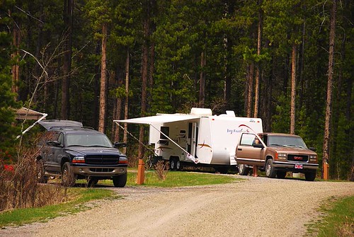
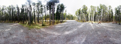
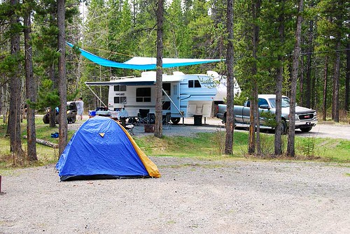
McLean Creek Campground is a large campground found in McLean Creek Provincial Recreation Area, 12 km west of Bragg Creek along Hwy. 66 and 1.3 km south on McLean Creek Trail. Sites are suitable for RVs and tents, with unserviced and power options. The campground is adjacent to many kilometers of trails in McLean Creek Public Land Use Zone (PLUZ). Access to many outdoor recreation opportunities in a foothills setting.

12 km west of Bragg Creek along Hwy. 66 & 1.3 km south on McLean Creek Trail

Events

************************************************** **************************************************

No upcoming events at this time.

Maps & Guides

  • Elbow Valley Summer Trails Map Map, Kananaskis, Big Elbow Backcountry, Cobble Flats PRA, Dawson PRA, Elbow Falls PRA, Elbow River PRA, Elbow River Launch PRA, Elbow-Sheep WPP, Little Elbow PRA, McLean Creek PRA, Moose Mountain Trailhead PRA, Mount Romulus Backcountry, Tombstone Backcountry, West Bragg Creek PRA, Beaver Flats Interpretive Trail, Elbow Falls Interpretive Trail, Fullerton Loop Trail, Little Elbow Interpretive Trail, McLean Creek Interpretive Trail, Nihahi Ridge Trail, Paddy’s Flat Interpretive Trail, Tombstone Lake Trail, Riverview Trail, Big Elbow Trail, Diamond T Loop Trail, Ford Creek Trail, Ford Knoll Trail, Elbow Valley Trail, Little Elbow Trail, Moose Mountain Trail, Nihahi Creek Trail, Powderface Creek Trail, Powderface Ridge Trail, "Prairie Link Trail", Sulphur Springs Trail, Threepoint Mountain Trail, Tom Snow Trail, Trail Creek Trail, Wildhorse Trail, Crystal Line Trail, Elbow Trail, Hostel Loop Trail, Moose Loop Trail, Sundog Trail, Telephone Trail, Kananaskis Country, Map, River Cove Group, Paddys Flat Group, Cobble Flats Group, Little Elbow Equestrian, North Fork PRA, Mesa Butte PRA, Gooseberry PRA, Gooseberry Campground, Fisher Creek PRA,Peter Lougheed PP, Kananaskis Country,Elbow Lake Backcountry Campground Map, Parks: Ings Mine PRA Park Map Trails, Ing's Mine PRA Ings Mine Day Use -- be044d42-d6fa-46fb-a5a2-5c50471f8635 True
  • Campground Map McLean Creek PRA, map, McLean Creek Campground, Kananaskis Country -- be044d42-d6fa-46fb-a5a2-5c50471f8635 True
Updated: Aug 24, 2026
0%