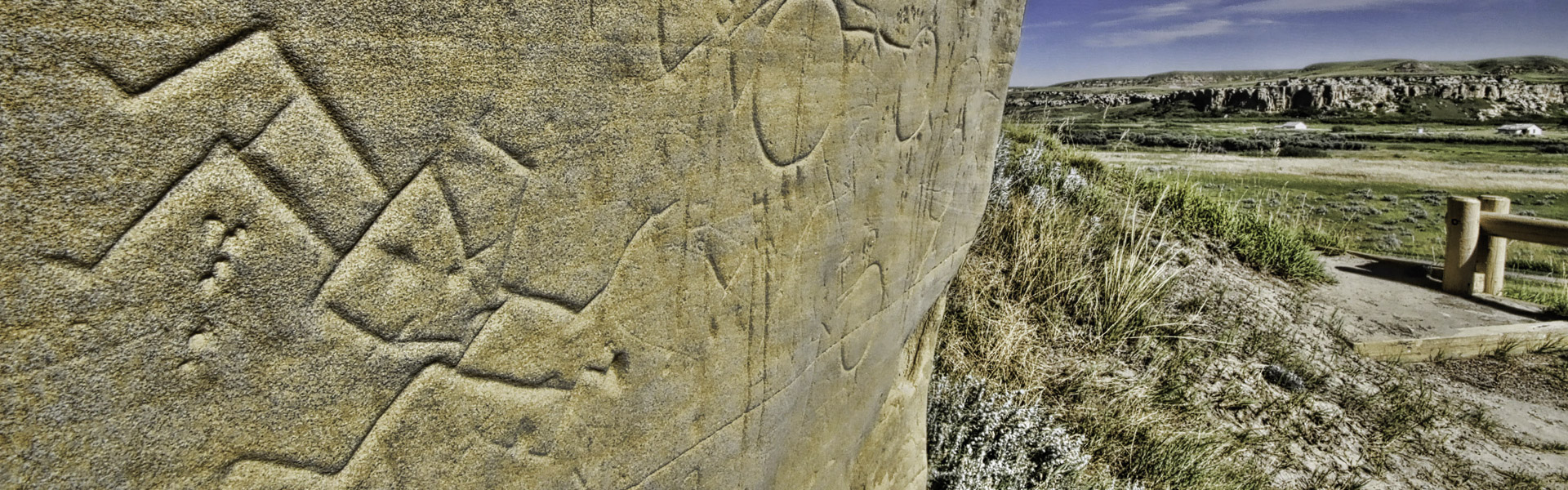
The trail provides visual access to the hoodoos, which are rock formations that are sculpted when the rock is eroded primarily by frost and wind-directed rain, along with the Milk River valley, and the Sweet Grass Hills in Montana.
| Open | |
| Length | 0.34km |
| Difficulty |

|
| Summer |

|
| Winter |
|
| Trailheads |
|
| Trail Map |
Campground Map
|
| Average Grade | 3.8% |
| Cross Slope | Insignificant |
| Accessible Length | 0.2 km (Includes trail from parking lot to visitor centre and sidewalk) |
| Trail Width | 1.5m - 2m+ |
| Surface Type |
|
| Obstacles | Not cleared in the winter |