Sibbald Lake Provincial Recreation Area

Alberta Parks

Information & Facilities

Information: 1 (877) 537-2757
A Kananaskis Conservation Pass is required to park your vehicle in Kananaskis and the Bow Valley.

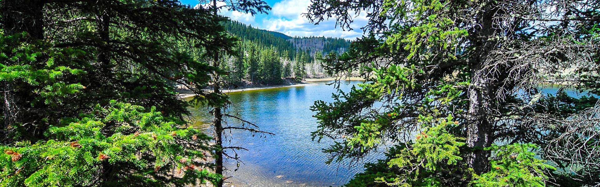
Named for Frank Sibbald, a rancher in the Morley area in the 1870s, this recreation area is a hidden gem among foothills aspen forests and meadows. Its close proximity to Calgary makes it a convenient starting point for hiking, mountain biking, fishing and picnicking. 

30 km east of Canmore on Hwy. 1, 6 km south on Hwy. 40 & 12 km east on Hwy. 68

Advisories & Closures

    No Advisories

Events

************************************************** ************************************************** No upcoming events at this time.

Maps & Guides

  • McLean, Sibbald & Bragg Creek Map (Geo Referenced) Map, Kananaskis Country, McLean PRA, Sibbald Lake PRA, Bragg Creek PP map, Campground: McLean Creek, Sibbald Lake, Day Use: McLean Staging Area, McLean Pond, Sibbald Lake, Bragg Creek Trails: McLean Creek Interpretive, -- 5f5f2328-2db5-42e6-9867-d9a45205e1a1 True
  • Sibbald Area Summer Trails Pamphlet with Map Map, Kananaskis, Dawson PRA, Jumpingpound Creel PRA, Lusk Creek PRA, Pine Grove PRA, Sibbald Lake PRA, Sibbald Viewpoint PRA, Baldy Pass Trail, Cox Hill Ridge Trail, Deer Ridge Trail, Eagle Hill Trail, Jumpingpound Loop Trail, Jumpingpound Ridge Trail, Jumpingpound Summit Trail, Lusk Pass Trail, Ole Buck Loop Trail, Moose Creek Interpretive Trail, Pine Woods Interpretive Trail, Sibbald Flat Interpretive Trail, Sibbald Reforestation Interpretive Trail, Tom Snow Trail, Kananaskis Country, Map -- 5f5f2328-2db5-42e6-9867-d9a45205e1a1 True
  • Campground Map Sibbald-Lake-PRA-map Park: Sibbald Lake PRA, Trail Map, Kananaskis Country Trails: Sibbald Flat Interpretive Trail Map -- 5f5f2328-2db5-42e6-9867-d9a45205e1a1 True
  • Regulations
  • Bear Smart
  • Living With Cougars
  • Snake Safety