Fisher Creek Provincial Recreation Area

Alberta Parks

Fisher Creek Campground

Information: 403-949-3132

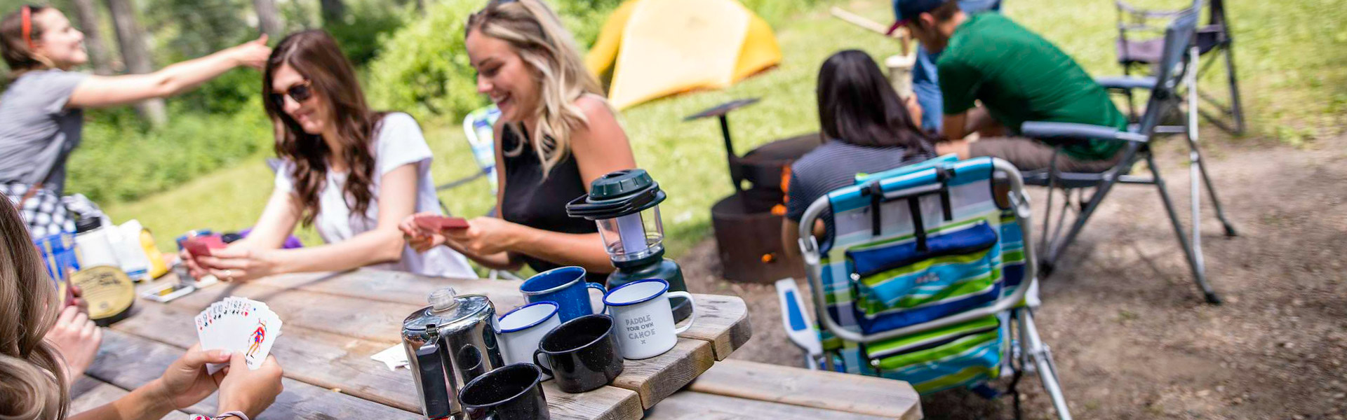
This year-round campground is found in Fisher Creek Provincial Recreation Area, 12 km southwest of Bragg Creek on Hwy. 66 and 15 km south on McLean Creek Road. A good base camp in the foothills for nearby hiking and snowmobiling, this campground offers a rustic camping experience and direct access to the McLean Creek Off-Highway Vehicle Public Land Use Zone.

Camping

Season: Year-round
Site Type Campsites Power Rate/Night Reservable Dates Current Status
Unserviced 15 - $31 No FCFS
Walk-in Tenting 15 - $31 No FCFS
Winter Camping 30 - $31 No -

Amenities

First Come, First Serve
Firewood

Firewood available for purchase at the McLean Creek Campground store, at the manager's site and from firewood truck.

Water

Please bring your own water. Water from the hand pump is not safe for consumption or use and should only be used to put out fires.

    Maps & Guides

    • Elbow Valley Summer Trails Map Map, Kananaskis, Big Elbow Backcountry, Cobble Flats PRA, Dawson PRA, Elbow Falls PRA, Elbow River PRA, Elbow River Launch PRA, Elbow-Sheep WPP, Little Elbow PRA, McLean Creek PRA, Moose Mountain Trailhead PRA, Mount Romulus Backcountry, Tombstone Backcountry, West Bragg Creek PRA, Beaver Flats Interpretive Trail, Elbow Falls Interpretive Trail, Fullerton Loop Trail, Little Elbow Interpretive Trail, McLean Creek Interpretive Trail, Nihahi Ridge Trail, Paddy’s Flat Interpretive Trail, Tombstone Lake Trail, Riverview Trail, Big Elbow Trail, Diamond T Loop Trail, Ford Creek Trail, Ford Knoll Trail, Elbow Valley Trail, Little Elbow Trail, Moose Mountain Trail, Nihahi Creek Trail, Powderface Creek Trail, Powderface Ridge Trail, "Prairie Link Trail", Sulphur Springs Trail, Threepoint Mountain Trail, Tom Snow Trail, Trail Creek Trail, Wildhorse Trail, Crystal Line Trail, Elbow Trail, Hostel Loop Trail, Moose Loop Trail, Sundog Trail, Telephone Trail, Kananaskis Country, Map, River Cove Group, Paddys Flat Group, Cobble Flats Group, Little Elbow Equestrian, North Fork PRA, Mesa Butte PRA, Gooseberry PRA, Gooseberry Campground, Fisher Creek PRA,Peter Lougheed PP, Kananaskis Country,Elbow Lake Backcountry Campground Map, Parks: Ings Mine PRA Park Map Trails, Ing's Mine PRA Ings Mine Day Use -- f22e4fca-7faa-4942-8acf-a15ecffe1f8e True
    • Regulations
    • Bear Smart
    • Living With Cougars
    • Snake Safety

Updated: May 4, 2026