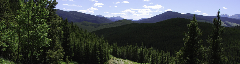
This quiet recreation area offers camping nestled in the mixed forest at the heart of the Highwood Valley. A favourite spot for those wanting something a little more remote and serene, it offers a day use area, a group camping area, a small first-come, first-served equestrian campground, and a larger campground that offers both reservable and first-come, first-served sites. Potable water and a sani-dump are available 6km away at the Highwood Junction (the intersection of highways 40, 541, and 940), which also has a seasonal convenience store selling gas and diesel.
Prior to June 15th, the only access to Etherington Creek is from the southeast: take Hwy. 22 to Longview, turn west into Kananaskis on Hwy. 541 (also labelled Hwy. 40 on Google & other maps), go 35 km to Highwood Junction (intersection of Hwy. 40, 541 & 940), turn onto Hwy. 940 & go 6 km to Etherington Creek. From June 15-Dec. 1, the campground can also be reached from the north over Highwood Pass on Hwy. 40.
No Advisories
 Camping
 Fishing
 Hiking - Front Country
 Equestrian
") Snowmobiling (Off-site)
Snowmobiling (Off-site)
 Geocaching
 Electric Bicycles
Horseback riding: developed equestrian trails in the vicinity. Snowmobiling: staging area to access trails in adjacent Cataract Creek Snow Vehicle Public Land Use Zone.