
Flood recovery is ongoing in Kananaskis. Some trails, day use areas and backcountry campgrounds are impacted. Check Advisories before you travel. 

Cataract Creek Provincial Recreation Area

Alberta Parks

Kananaskis Conservation Pass is required to park your vehicle in Kananaskis and the Bow Valley


New for 2026: Cataract Creek Campground now has a mix of reservable and first-come, first-served campsites. Reserve on Shop.AlbertaParks.ca or phone the Call Centre at 1-877-537-2757. 


Cataract Creek Campground

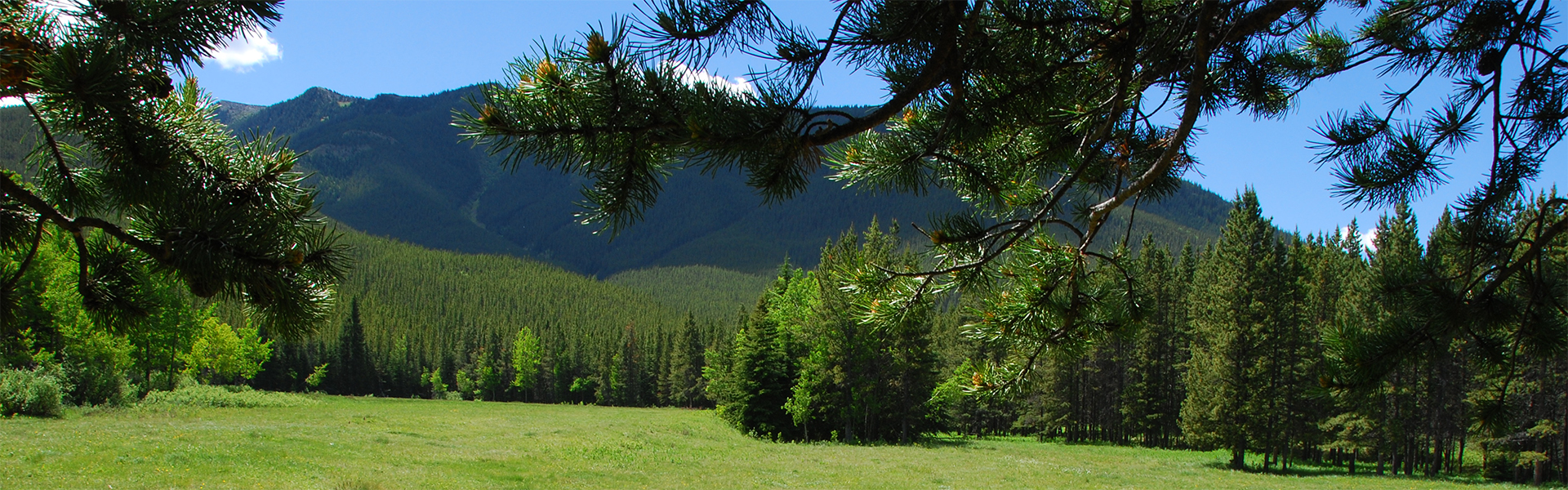
This is a large campground found in Cataract Creek Provincial Recreation Area, 45 km southwest of Longview on Hwy. 541 and 12 km south on Forestry Trunk Road. There are over 100 unserviced sites suitable for tents and some RVs. Enjoy hiking in the lodgepole pine forest or try fishing in the creek.

Camping

Season: May 14 - Sep 6
Site Type Campsites Power Rate/Night Reservable Dates Current Status
Unserviced 102 - $31 May 14 - Sep 6 Book It

This campground offers a mix of first come, first served and reservable campsites.

Amenities

Currently Booking to
Sep 6, 2026

1-877-537-2757
Firewood

Firewood available for purchase on site from the campground manager.

Water

Please bring your own water. Water from the hand pump is not safe for consumption or use and should only be used to put out fires.

There is potable water available nearby at Highwood House

Sewage

Nearest sewage disposal station at Highwood House.

    Maps & Guides

    • Campground Map Park Name: Cataract Creek PRA Facility: Cataract Creek Campground -- d2771c5a-6f3c-4fb1-a578-510543f84ade True
    • Cataract & Highwood Map (Geo Referenced) Map, Kananaskis Country, Cataract Creek PRA, Highwood PRA, map Campground: Cataract Creek Day Use: Cataract Creek, Highwood River Group use: Highwood -- d2771c5a-6f3c-4fb1-a578-510543f84ade True
    • Cataract Creek Snowmobile Trails Map Map, Kananaskis, Cataract Creek PRA, Etherington Creek PRA, Baril Loop Trail, Cataract Creek Trail, Cataract Loop Trail, Cummings Creek Trail, Etherington Trail, Faller's Trail, Loggers Trail, Oyster Excursion Trail, Pasque Trail, Raspberry Pass Trail, Skyline Trail, Valley Bottom Trail, Wilkinson Summit Trail, Kananaskis Country, Map -- d2771c5a-6f3c-4fb1-a578-510543f84ade True
    • Highwood & Cataract Summer Trails Map Map, Kananaskis, Cat Creek PRA, Cataract Creek PRA, Etherington Creek PRA,Lantern Creek PRA, Mist Creek PRA, Sentinel PRA, Baril Loop Trail, Bear Pond Trail, Carnarvon Creek Trail, Cataract Trail, Cataract Falls Trail, Cataract Loop Trail, Cat Creek Interpretive Trail, Cummings Trail, Etherington Trail, Fallers Trail, Grass Pass Trail, Loggers Trail, Lost Creek Trail, Mist Creek Trail, Mount Burke Trail, Oyster Trail, Pasque Trail, Picklejar Lakes Trail, Plateau Mountain Trail, Raspberry Pass Trail, Skyline Trail, Upper Raspberry Trail, Valley Bottom Trail, Kananaskis Country, Map -- d2771c5a-6f3c-4fb1-a578-510543f84ade True
    • Regulations
    • Bear Smart
    • Living With Cougars


Updated: Apr 30, 2026