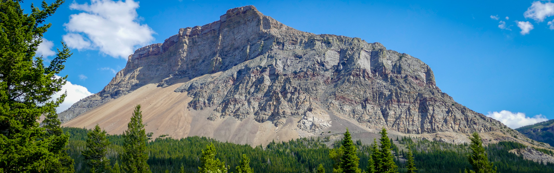
The trail winds through the forest beside Ptolemy creek with several creek crossings. The trail eventually leaves the creek bed and begins a gradual ascent. At the fork, take the trail to the left. Shortly after the fork, the trail grade increases significantly through dense, forested sections. Scree slopes rise up to the left and the trail ascends into an open valley. Upon reaching the base of Andy Good Peak, the trail abruptly ends.
If time permits, you can scramble up the rocky slopes on the northern side of the valley for a more commanding view, or for an attempt at Andy Good Peak. Technical climbing and equipment may be required to reach the top of the peak.
Trailhead instructions:
Warning: In spring and early summer, the creek crossing through the swift and deep water can pose a serious hazard.
| Length | 8.6 km one way |
| Elevation: | 940m |
| Difficulty |
|
| Summer |

|
| Winter | |
| Trailheads |
|
| Trail Map |
Castle Summer Trail Map Georeferenced
Castle Winter Trails Map Georeferenced Designated Camping Areas Equestrian Designated Campground and Summer Trails |